
Maryland Heights Neighbors by Block
A small Maryland Heights block search has a different purpose from a whole-street search. The question is physical proximity: which parcels touch the target, which parcels face it, and what record can place a title holder or dated city activity at one of those parcels? The county GIS service is the best starting point because it shows parcel geometry. Then use the assessor, city, Recorder, voter-file, and library channels only for the question each source can answer.
| Source | What It Shows About a Block | Access |
|---|---|---|
| GIS parcel viewer | Parcel shapes, touching parcels, roads, districts, and selected popup data | Public viewer and service |
| County assessor | Current owner, parcel, and tax details for a selected parcel, not every occupant | Public search, one parcel at a time |
| City Accela | Address-keyed permit and code summaries, with dates | Public search; login and document gaps apply |
| Recorder of Deeds | Transfer chain and legal-description trail for a parcel | Public index and copy route |
| Voter list | Permitted registered-voter address, precinct, and history fields | Formal county request, fees, and restrictions |
| Directories and reverse sections | Historical occupants by address for selected years | Library digital and physical collections |
| Plans, maps, and civic contacts | Road, development, and public boundary context | Official plan, map, or city contact route |
Property ownership and occupancy are different facts. A tax mailing address can be outside Maryland Heights. A permit can show a dated property interaction without identifying who was present. Treat each field as a source-dated clue, not as a complete household roster.
Define a Maryland Heights Neighbor Boundary
State the boundary before collecting anything. A practical Maryland Heights block can mean the same side of a street between two intersections, each parcel that shares a boundary with the target, the directly opposite parcels, or a stated radius. These definitions produce different results. Using one clear rule keeps a map inquiry from becoming an open-ended search for people.
- Touching parcel
- A parcel that shares a boundary with the selected parcel.
- Opposite parcel
- A parcel facing the target across the street, identified from the map rather than a text label.
- Situs address
- The physical property location shown by a property record.
- Mailing address
- Tax correspondence information that may not match the situs address.
The boundary also needs a source date. GIS data are updated as needed rather than on a fixed universal schedule. A block near I-270, Highway 141, Page Avenue or Highway 364, Dorsett Road, or Westport-area roads may use road labels that help orient the map but do not prove a city limit or household connection.
Map Maryland Heights Neighbors Parcel by Parcel
The county parcel layer supports a restrained, repeatable process. Start with one target address, record the parcel identifier, and work outward only to the boundary rule selected above. The map supplies geometry; the assessor and Recorder supply record context. Do not infer a household from a label, and do not collect more fields than are needed to check the parcel relationship.
Target address → GIS parcel popup → parcel ID and legal description → touching and opposite parcels → assessor card for each selected parcel → Recorder instrument if title history matters.
- Find the target in county GIS and note its parcel or locator number, situs, and legal description.
- Click each touching parcel and the parcels directly across the street. Record only the displayed parcel fields needed for comparison.
- Open the assessor record for each selected parcel. Keep owner, situs, and mailing fields distinct.
- Use the Recorder’s deed index if a title transfer or legal description needs checking. For the broader named-street record chain, use the Maryland Heights street address directory.
The St. Louis County parcel FeatureServer is the source for the public parcel layer.
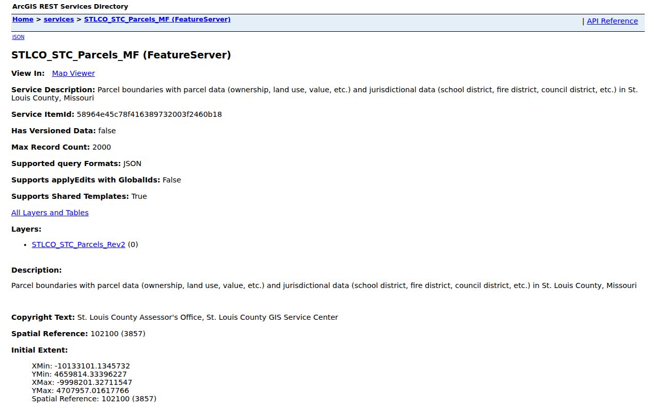
The service is useful for adjacency and map context. It does not turn the block into a verified people list, and query limits or displayed fields should be checked in the live service.
Maryland Heights Neighbors in County Maps
St. Louis County GIS Online provides the catalog and discovery route for county revenue-related mapping. Parcel boundaries, road labels, zoning, flood, political, school, or fire-district layers can provide context when the layer is visible. Turn on only the layer needed for the question. A district boundary is a geographic cross-check, not proof about a person.
The GIS Service Center lists 314-615-4447 and gis@stlouisco.com for service questions. A request should describe the parcel, layer, or mapping issue instead of asking staff to identify residents.
The St. Louis County Assessor supplies the property-valuation context behind a selected parcel record.
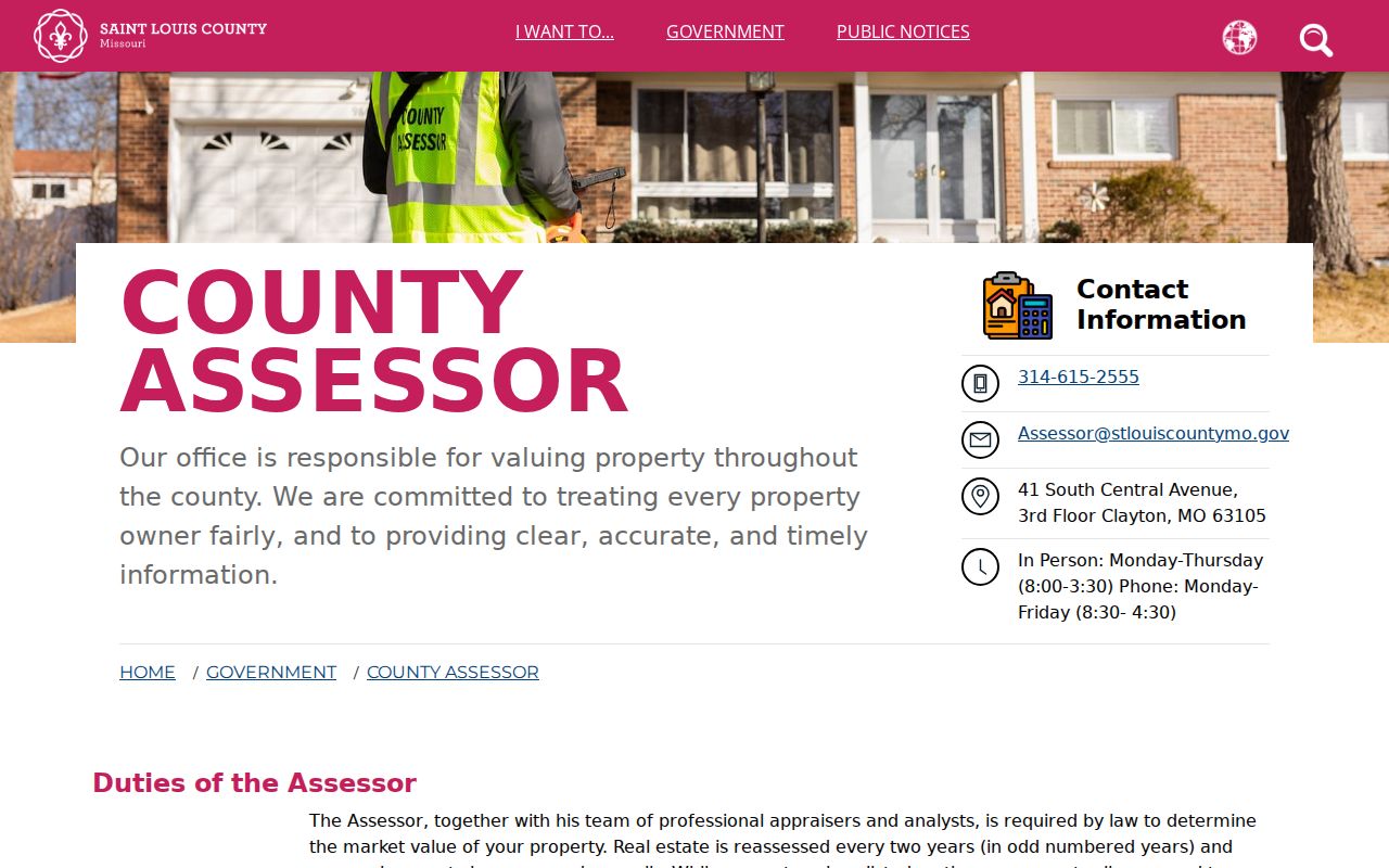
Compare the assessor owner field with the situs and mailing address for each parcel. Even a homestead indicator, when displayed, is only an administrative clue and not conclusive proof of who occupies a property.
Note: Save a parcel locator and legal description because street formatting can change while those cross-references remain useful.
Maryland Heights Neighbor City Activity
Maryland Heights Accela can be searched by address, parcel, owner, record, or licensed professional. Its public results may provide permit, inspection, code, or record-summary context tied to a location. A dated activity is useful for understanding the parcel history, but it does not establish that a person was present unless a public record expressly names the person and that connection is material.
Maryland Heights Community Development is the city source for permits, inspections, code, and related address-keyed services.
Accela access can involve login or document gaps. If a public search stops, ask the city custodian which existing record series is available and provide a specific address and date range.
Maryland Heights Neighbors Voter File Rules
The Missouri Voter Outreach portal is not a street or block browser. It requires a known person’s exact registered first name, last name, date of birth, and county. A formal St. Louis County voter-file request is the route for permitted street, precinct, or municipal output. The request form lists last, first, middle, suffix, address components, city, ZIP, split township or precinct, and selected history fields, subject to statutory protections.
The captured county form lists $40 for a countywide file and $20 for a district or municipal file, with $10 and $5 additional same-order charges. It also contains a use restriction and calls for current prices to be confirmed. Protected addresses are excluded, full DOB and SSN are not public output, and ballot choices are not public fields. RSMo §115.157 and §115.163 govern public voter record access; the web portal is not a substitute for the formal route.
For a narrow request, specify the record type, relevant jurisdiction, fields needed, date or election history if relevant, and the reason the format is needed. Do not use a list to build a profile of a block.
Past Maryland Heights Neighbors and Labels
Older block research needs a different set of labels. Maryland Heights incorporated in 1985, so earlier material can refer to St. Louis County, a subdivision, a rural route, or a nearby community instead. Search historical directories, newspaper notices, church or cemetery material, and neighborhood histories using the printed street form and county label. Reverse or criss-cross directory sections can connect an address to an occupant for a particular publication year, but gaps are normal.
The St. Louis County Library History and Genealogy collection offers free Digital Archives, physical directories, maps, newspapers, yearbooks, and local-history files. Its lookup service can handle three searches per mailing when the request gives the source, year, person, and exact citation. In February 2025, the library added 1881-1889 Watchman-Advocate issues to its digital holdings. Those historical clues can place a name in a dated source but never demonstrate a current Maryland Heights address.
Roads such as Dorsett, Page, Westport, I-270, Highway 141, and Highway 364 can help reconcile a map. They are orientation tools only. Verify a historical address with the parcel’s legal description, source date, and relevant county or city label.
Maryland Heights Neighbors Community Contacts
No official current directory of Maryland Heights neighborhood-association names, boundaries, websites, or member rosters was verified in the research. The city comprehensive plan mentions neighborhood organizations and civic groups, but a subdivision name is not enough to assume that an association exists or covers a particular address. Public contacts can help identify the correct city channel or boundary; they are not a request for private membership information.
Community Development
Maryland Heights Community Development is the appropriate city route for permit, inspection, code, planning, and development context for a street or subdivision.
City Hall and Clerk
City Hall is at 11911 Dorsett Road, Maryland Heights, MO 63043. The general phone is 314-291-6550. General hours are listed as Monday through Friday, 7:00 a.m. to 5:30 p.m.; verify hours before visiting.
County GIS Service Center
For county parcel-layer context, call 314-615-4447 or email gis@stlouisco.com. Ask about the map or parcel record, not a household list.
A public association page may provide a meeting date, officer, newsletter, or contact email. A resident roster, gate list, and private group remain non-public unless the organization has deliberately made them public.
Maryland Heights Neighbor Lookup Limits
Official records retain their context: an assessor card describes a tax parcel, a GIS layer describes geography, an Accela result describes city activity, and a directory describes a past publication year. Compiled commercial neighbor tools may merge public filings, directories, marketing data, and stale address associations. They can lack source dates and merge people with similar names. The original official or library record is the better place to test a claim.
| Official record route | Commercial compiled category |
|---|---|
| Shows a defined keeper, record date, and field context for a parcel, permit, court, or directory item. | May combine data from different dates and sources without enough context to evaluate a match. |
| Allows a searcher to distinguish owner, mailing, situs, party role, and historical entry. | May blur ownership, occupancy, current location, and similarly named people. |
| Has a custodian for correction or a defined records-request channel. | Does not replace correction at the original custodian. |
Missouri Safe at Home protects qualifying participants through a designated address and a forwarding service that may add five to seven days. Protected voter addresses also exist. Never try to triangulate a protected address, and do not infer absence from a missing result. Missouri’s §105.1500 is a narrow nonprofit-information protection, not a universal public-record opt-out.
Lawful use. Maryland Heights block research should stay limited to a specific lawful question and the smallest needed set of records. RSMo §565.225 and §455.010 address stalking and harassment; no public record authorizes monitoring, targeting, or harming anyone.