
Maryland Heights ZIP Coverage
Current official verification supports one primary Maryland Heights postal row in the Missouri open-data dataset. The additional ZIPs below are not presented as current citywide service areas. They appear in historical USPS bulletin material connected with Maryland Heights address-label changes, so they are useful only as leads for a live address check. That distinction matters when an old record carries a postal label that no longer matches a modern search form.
| ZIP | Areas Covered | Post Office | Notes |
|---|---|---|---|
| 63043 | Maryland Heights, St. Louis County in the Missouri open-data row | Maryland Heights Post Office, 177 Weldon Parkway | Primary verified city ZIP; USPS remains the final address check |
| 63038 | Legacy label associated with Maryland Heights postal changes | Service relationship needs live USPS verification | Do not treat as current citywide coverage |
| 63074 | Legacy or adjacent label in USPS bulletin material | Service relationship needs live USPS verification | Boundary and service details were not established by the bulletin |
| 63088 | Legacy label associated with Maryland Heights changes | Service relationship needs live USPS verification | Historical clue, not confirmed current Maryland Heights coverage |
The Missouri ZIP dataset query returns Maryland Heights, Saint Louis County, and ZIP 63043. The state row is a strong city-level reference, while USPS is the authority for a particular delivery address.
Maryland Heights ZIP Confirmation
Use USPS ZIP Lookup before treating a ZIP as the correct delivery code for one address. The service offers By Address, By City and State, and Cities by ZIP paths. An address search is the most precise choice when a street number is known. If USPS returns more than one match, add the unit or narrower address information rather than choosing a result by city label alone.
| USPS path | Use it for | Limit |
|---|---|---|
| By Address | Checking the delivery ZIP for a complete street address | Needs enough address detail, including a unit when the response requires one |
| By City and State | Finding postal ZIP choices tied to a city and state entry | Does not settle a parcel or municipal-boundary question |
| Cities by ZIP | Checking the postal city labels associated with a ZIP | Does not prove a person or business is located at an address |
The Maryland Heights Post Office listing identifies 177 Weldon Parkway, Maryland Heights, MO 63043-9998. Its displayed retail hours are Monday through Friday, 9 a.m. to 5 p.m., Saturday, 9 a.m. to 1 p.m., and closed Sunday, with phone 314-567-7767. Verify hours before visiting.
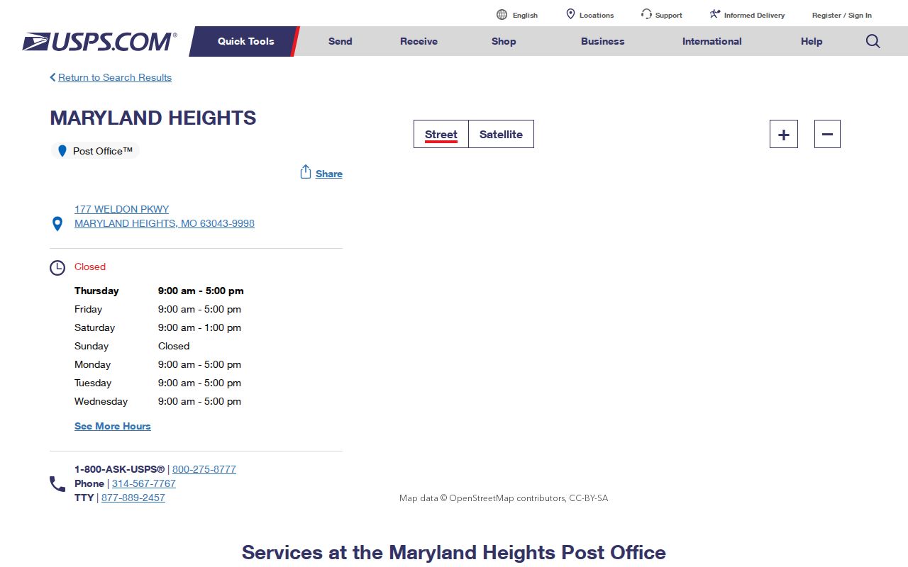
The post-office listing supports the postal label for the verified ZIP. It does not map every delivery route or show who receives mail at an address.
Maryland Heights ZIP Boundaries
A ZIP code boundary and a Maryland Heights city limit answer different questions. USPS uses delivery geography and postal labels. The city line is a municipal boundary. The county parcel is a property and mapping unit. A parcel near an edge may have a Maryland Heights postal label while lying outside the city line, or a city parcel may use a neighboring post-office route. A postal directory should keep those categories separate.
The MODOT Maryland Heights city map shows city limits and major orientation roads, including I-270, Highway 141, Highway 364 or Page Avenue, Dorsett Road, and Westport-area roads. It is useful for geography, not for title or parcel-level certainty. Pair it with the county GIS parcel layer and live USPS result when the label and mapped city boundary do not line up.
Boundary check. A postal city name is not a municipal finding. Use USPS for delivery, GIS for parcel context, and the city map for the city-limit question.
Maryland Heights ZIP Workflow
A ZIP narrows the place to check, but no official Maryland Heights people record was documented as a general ZIP-only browse tool. Use the ZIP to normalize and scope an address, then switch to the record system that is actually keyed to a street, parcel, or identified person.
- Run the complete delivery address through USPS and retain the returned ZIP, postal city, and any unit requirement.
- Search the St. Louis County assessor with street components, then retain the situs address, locator, and legal description from the parcel result.
- Use county GIS to compare the parcel geometry with the city-limit context and the postal label.
- Search Maryland Heights Accela by street fields, or use its parcel, owner, or record mode when the address form does not return a result.
- For an older address, compare a directory abbreviation or earlier county or community label before treating the ZIP as a fixed historical fact.
- Use the voter route only for an identified person or an authorized county-file request, then record the requested fields and date.
Once the address is narrowed to a street, the Maryland Heights street directory provides the parcel-to-deed sequence. That step is more reliable than trying to convert a ZIP into a resident list.
Maryland Heights ZIP Search Limits
The assessor accepts a property address and may show ZIP as part of a result, but a standalone ZIP-wide assessor mode was not documented. County GIS is spatial and parcel based. The tax-payment search has one general input for property number, owner name, or address, rather than a documented ZIP filter. Accela uses number, direction, street name, and street type, not a verified ZIP-only field.
The county voter-file request can include ZIP in its address output. The online Missouri voter lookup, however, requires a known person's full name, date of birth, and county, so it cannot browse a ZIP. A ZIP should therefore guide a verification path, not be used to make a claim about all people connected to a postal area.
Note: A postal match confirms delivery formatting, not ownership, occupancy, identity, or a full municipal address history.
Maryland Heights ZIP History
USPS bulletins from 2015 and 2016 document Maryland Heights address-label changes involving 63038, 63074, and 63088, with 63043 appearing as a destination or new ZIP in the notices. The bulletins show that postal labels changed. They do not establish that every older address moved to one common service area, and they do not redraw the municipal boundary.
For an old directory, deed, tax, or permit record, preserve the source's original ZIP and postal city. Then run the present address through USPS and note the live lookup date. The same caution applies to an earlier source that calls the place St. Louis County, a subdivision, a community, or a rural route rather than Maryland Heights.
Maryland Heights ZIP Parcel Context
The parcel locator is a stable bridge when postal wording shifts. In the St. Louis County Real Estate Search, a locator is expected to have nine characters, beginning with two digits, followed by a B-Z alphabetic third character, then digits. The property address search also accepts an optional number and direction, a required street name of at least three characters, and an optional suffix. This is a parcel workflow, not a ZIP-wide lookup.
After the assessor identifies the parcel, use St. Louis County GIS Online for the geometry and surrounding mapped context. A deed's legal description and a recorded plat can then explain the land independent of postal formatting. The address shown on a tax record may be a mailing address, which can differ from the situs property address.
Maryland Heights ZIP Code Terms
Postal terms are useful when they describe the right layer of a record. None should be used as a shortcut for a parcel boundary, owner, or person.
- ZIP and ZIP+4
- A ZIP identifies a postal delivery area. ZIP+4 adds a more precise delivery segment within that area.
- PO-box ZIP
- A ZIP used for post-office boxes rather than necessarily for street delivery. No Maryland Heights PO-box-only ZIP was verified in the research.
- Unique ZIP
- A ZIP assigned for a particular organization or high-volume destination. The research did not verify a Maryland Heights example.
- Carrier route
- A postal delivery sequence or route within a ZIP. It is not a city-limit or property-title boundary.
The useful comparison is postal address versus situs address, mailing address, and legal description. Each can be accurate for its own purpose while still being different from the others.
Maryland Heights ZIP Code Directory Limits
The Maryland Heights ZIP code directory can confirm a primary city ZIP, flag legacy labels, and help form a clean address search. It cannot promise complete city coverage from old bulletin material, identify all people in a ZIP, or settle a boundary by itself. A live USPS result, a parcel map, and the relevant city or county record provide stronger evidence when an address sits near a line.
Maryland Heights incorporated in 1985, so older source material may use a county, subdivision, community, rural-route, or postal label instead of the city name. Keep the date and the source label together. For a formal city record, ask the city clerk or the relevant department for a specific record series, address, and date range under Missouri Sunshine Law Chapter 610.
Lawful use. Use postal and public-record information for lawful personal research, civic questions, or family history. Do not use an address result to stalk, harass, or harm anyone.